Chapter 9
Mountain weather hazards
The weather almost always gives warning; the danger lies in the gap between the sign and the reaction.
The essentials in two minutes
- A thunderstorm is a cumulus that doesn’t stop: towers taller than they are wide, then a smooth top, then an anvil. The signal to act is the tower, not the lightning.
- A cell lives 30 to 60 min, but air-mass thunderstorms take over from one another from about 14:00 to 18:00; frontal and cut-off-low thunderstorms come at any time.
- Under a congestus, cloud suck (5 to 10 m/s) can exceed what the wing can descend (big ears and speed bar: 2 to 4 m/s): get out sideways, on speed bar, towards clear sky — and leave before.
- The gust front runs several kilometres, sometimes tens of kilometres, ahead of the storm, under a sky that is still blue, at 50–100 km/h: land early, in a big field, and pack the wing away.
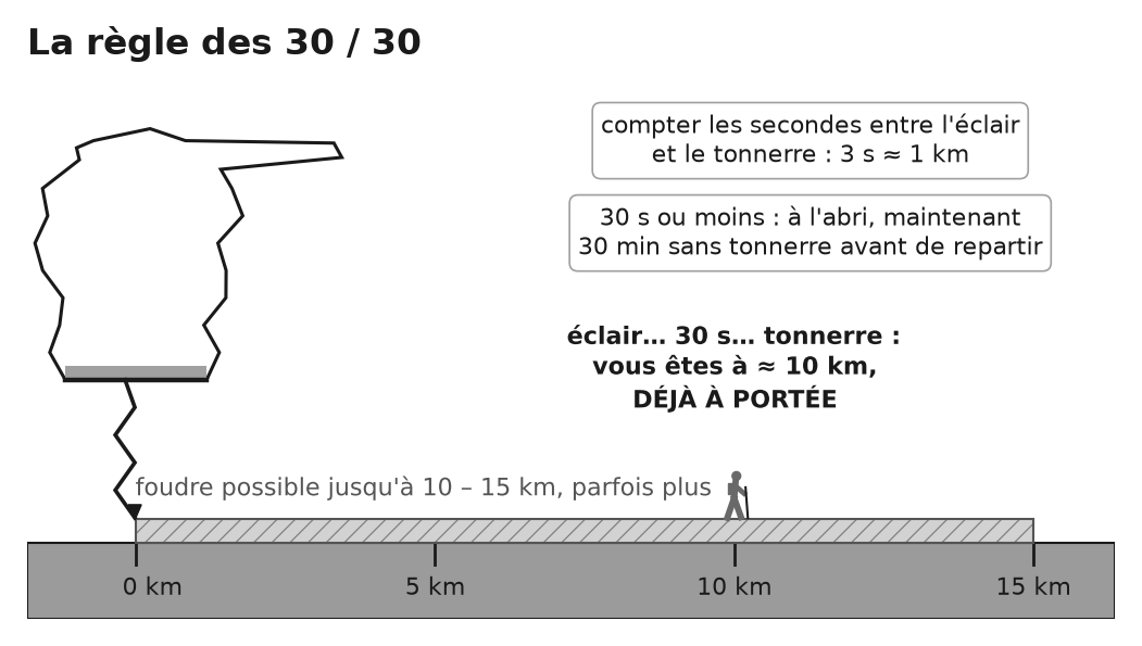
- Lightning: 3 s = 1 km; at 30 s or less, take shelter; 30 min after the last thunder before setting off again. Leave high points and cables, no isolated tree, crouch with feet together on your rucksack, spread out from one another.
- A thunderstorm upstream can make the torrent rise within minutes: no bivouac in the stream bed, no crossing in flood.
- Wind (gusts 15 km/h or more above the mean: choppy air), foehn, low cloud, whiteout, wet and windy cold (at 5 °C and 40 km/h: feels like −1 °C), heat, refrozen snowfields: each hazard has its signs and its timescales.
- The timetable is built backwards from the time of the thunderstorm (a margin of at least an hour, then the time to descend); the cut-off time is set before you leave and is not renegotiated.